
Quetzly helps developers, GIS and IT teams test, monitor, and visualize geospatial APIs. Send http requests, adjust headers and query params, and inspect JSON with an integrated editor. Render WMS, WFS, GeoJSON and ArcGIS services on an interactive map, toggle layers, zoom to extents, and export data as GeoJSON or Shapefile. Track endpoint health to reduce downtime and keep location services reliable. Quetzly is currently in open Beta. Try it for free.
Advertise Here
Reach developers and makers who are actively looking for new AI tools and products.
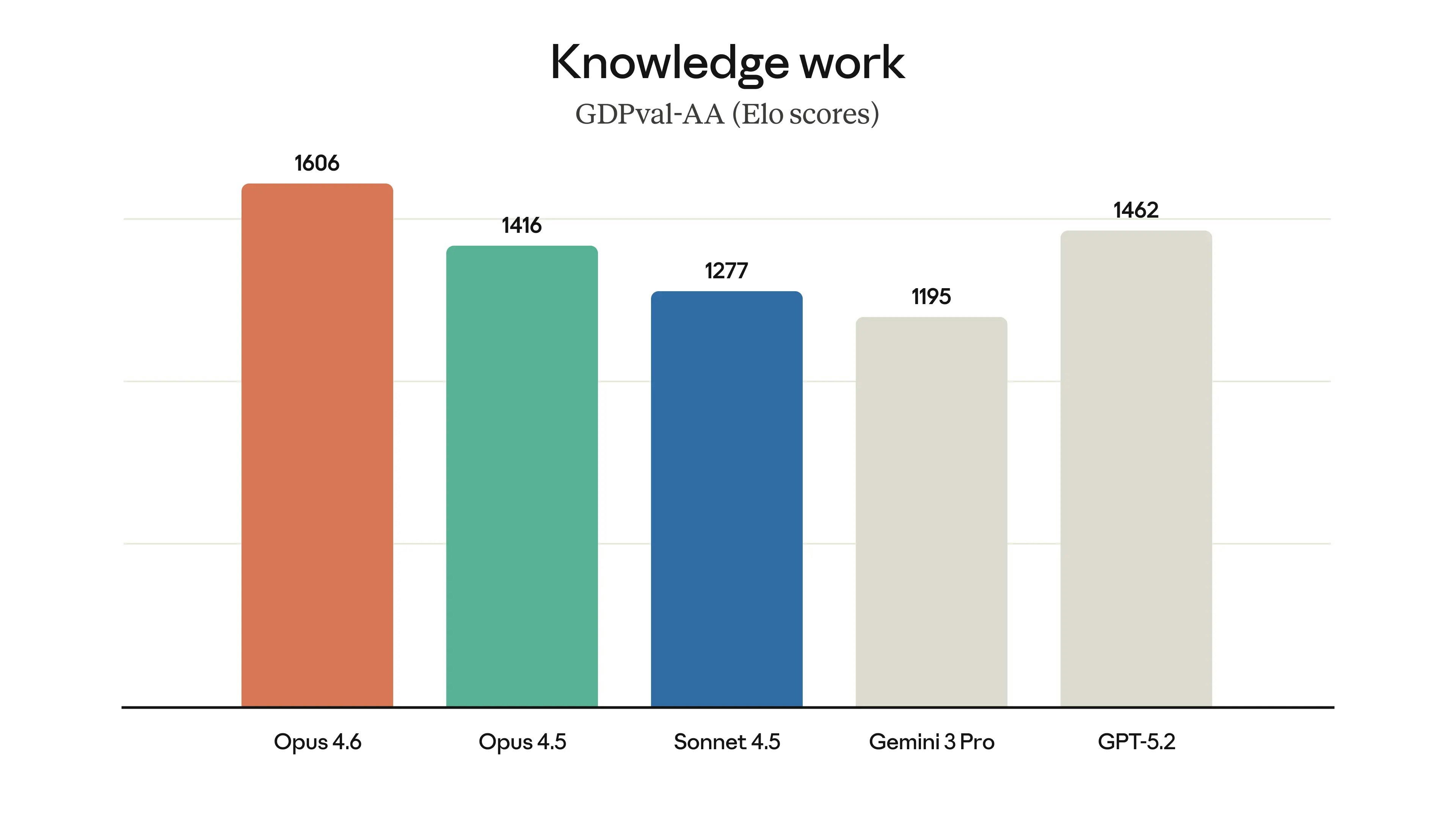
Claude’s most advanced model for agentic tasks

Rules for AI coding agents
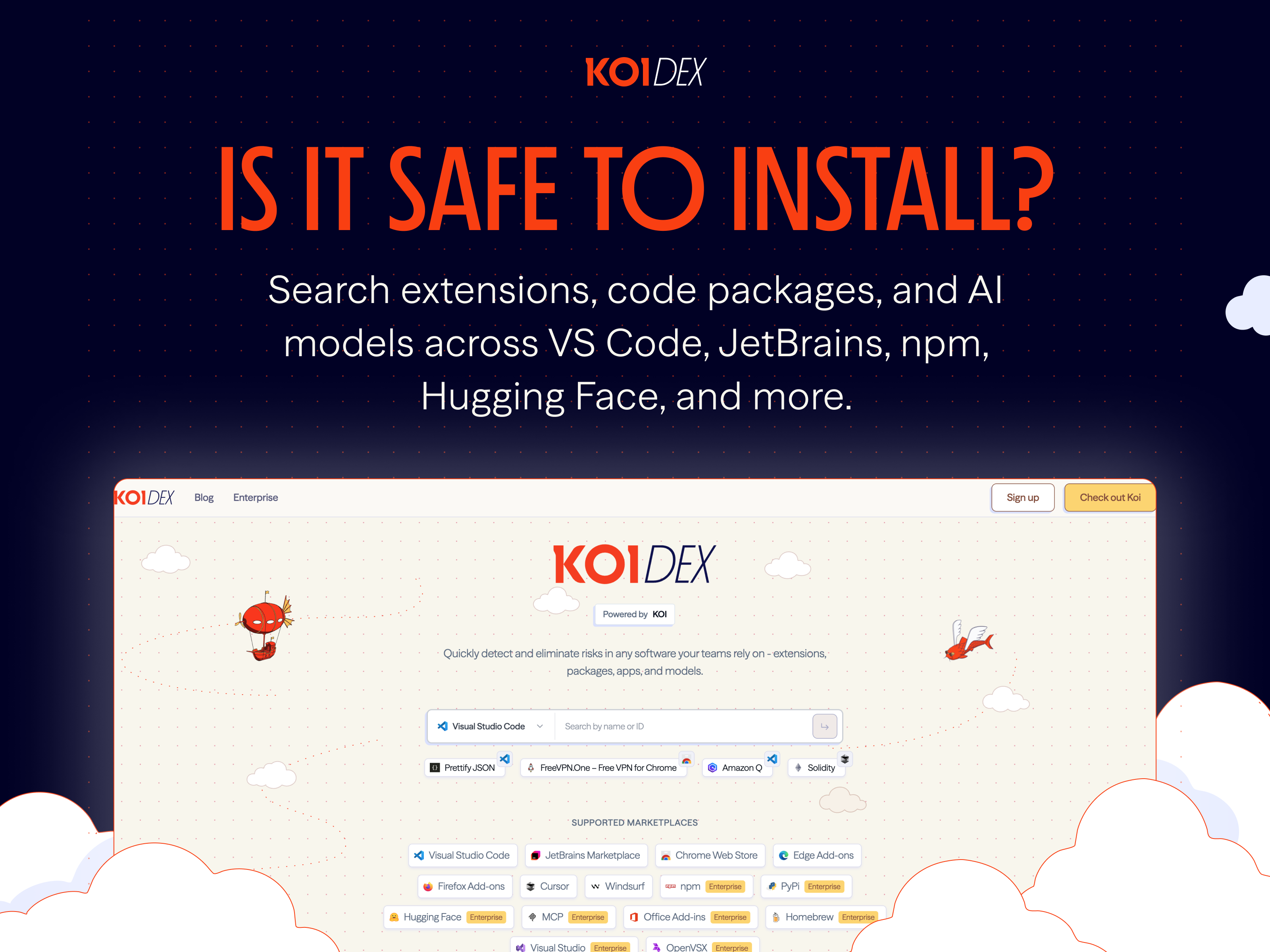
Know if a package, extension, or AI model is actually safe
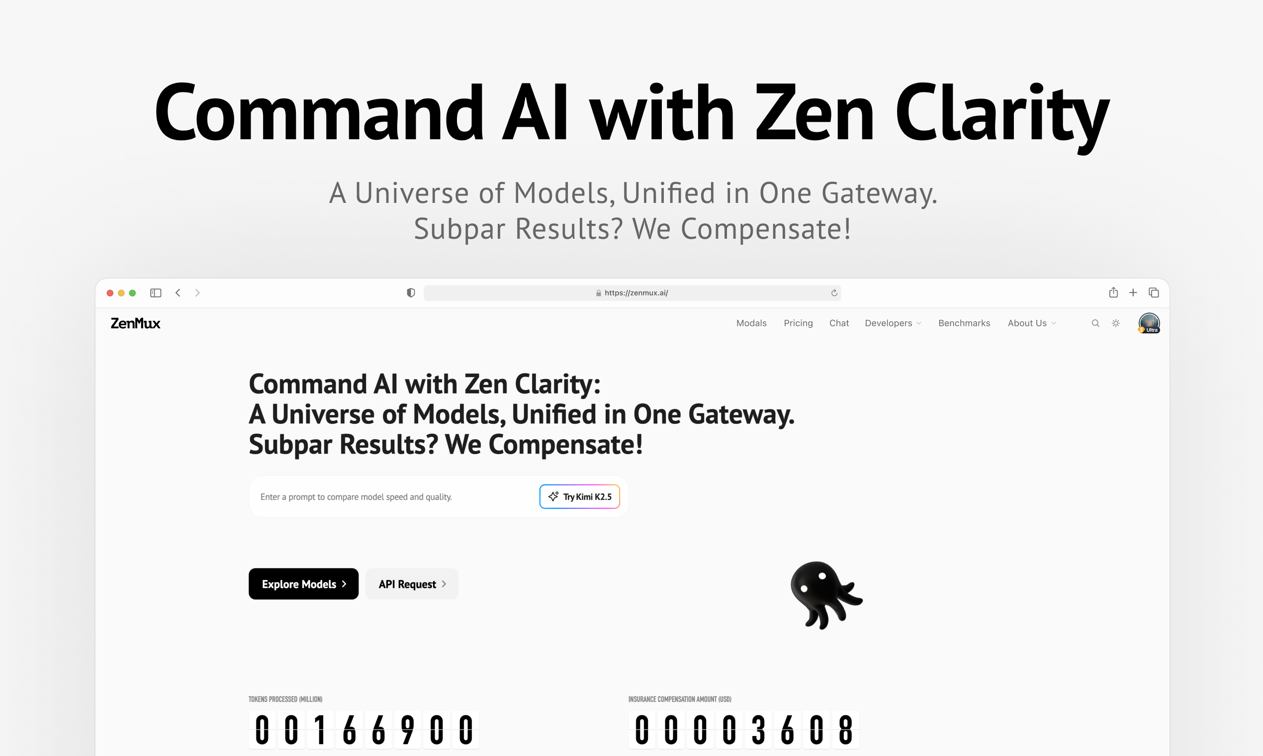
An Enterprise-Grade LLM Gateway with Automatic Compensation
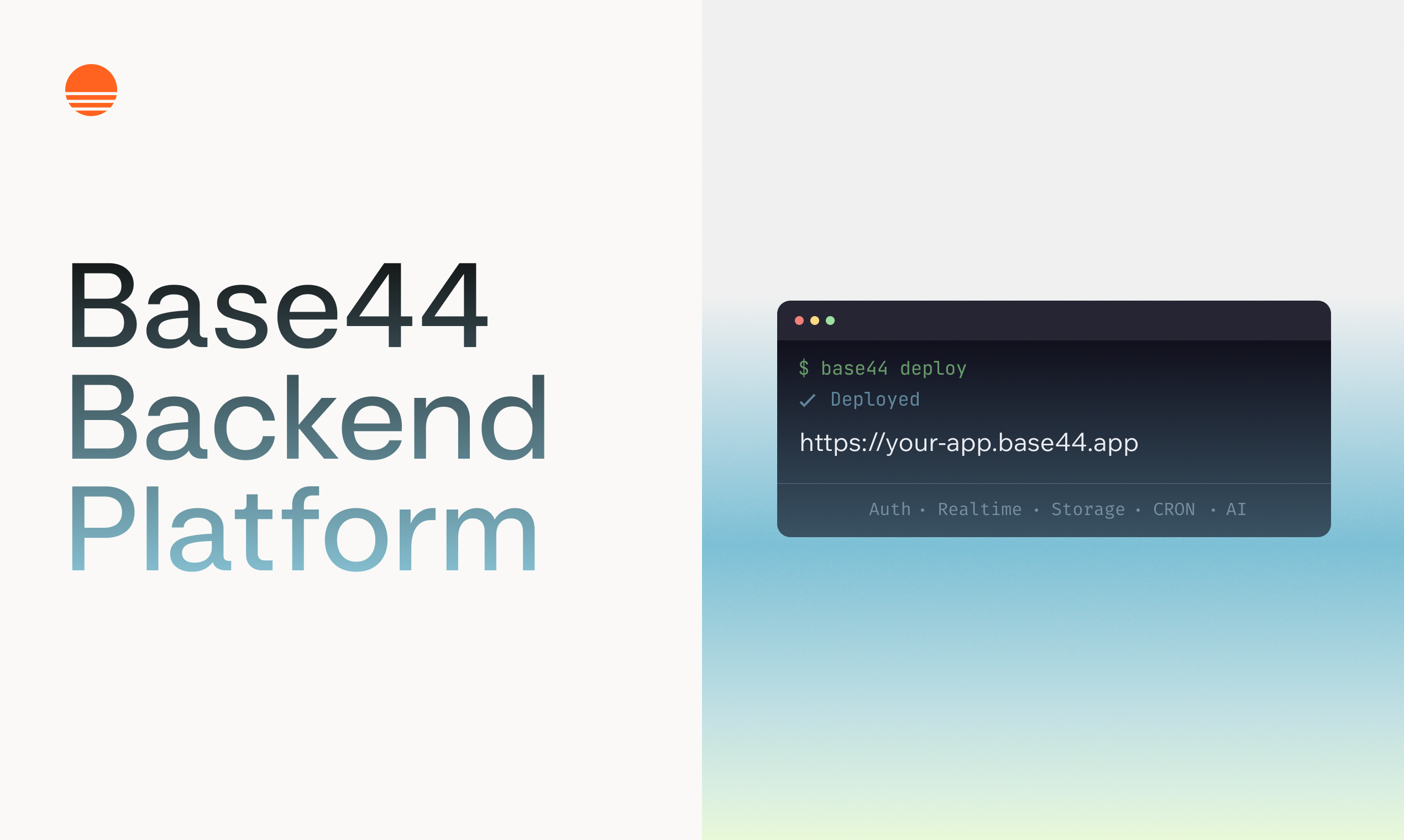
The Backend for the age of AI
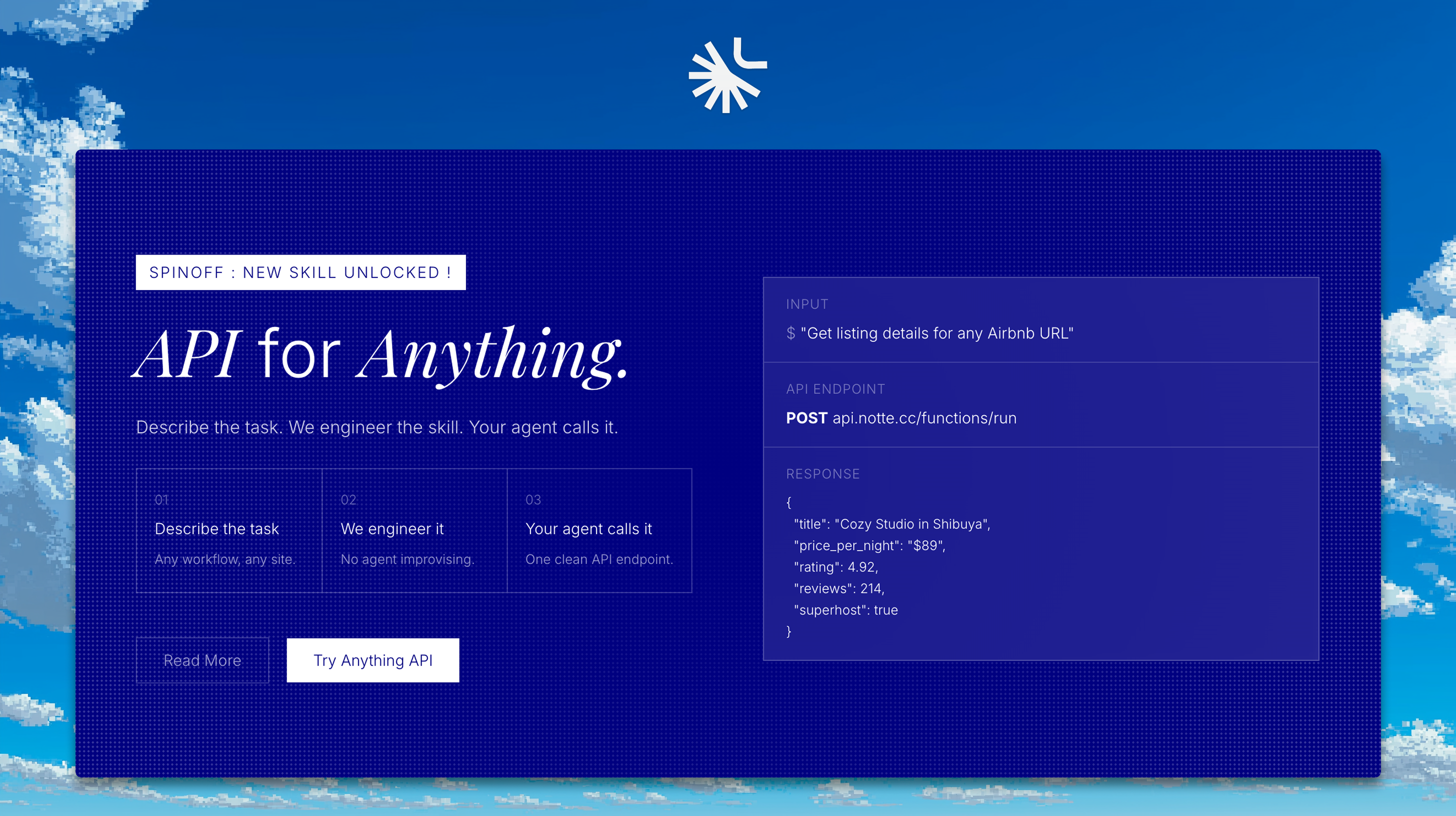
Any website. We deliver the API.
